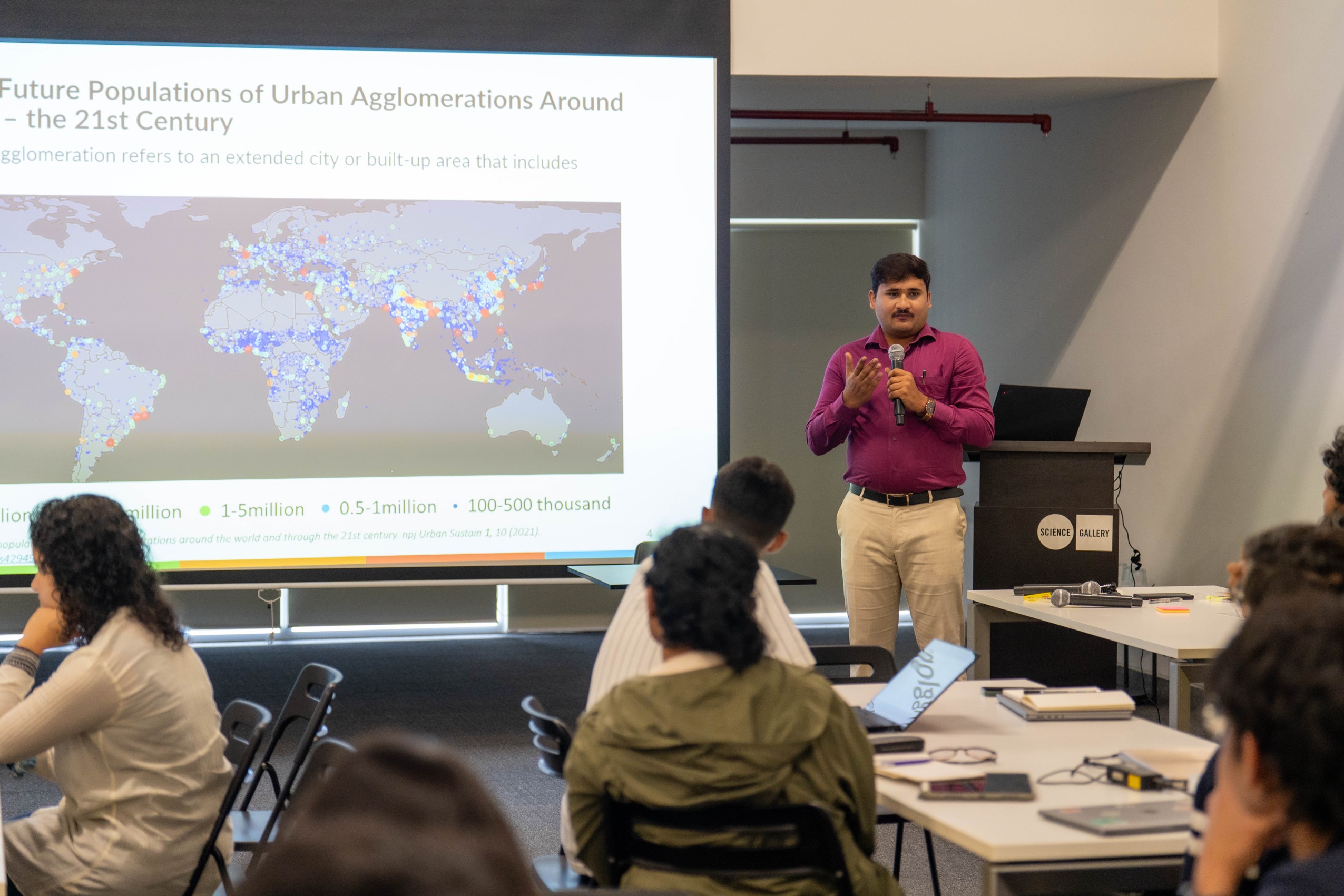
As urbanisation accelerates in India, cities face a growing array of climate-related and socio-environmental issues, including urban flooding, the urban heat island effect, and pressure on infrastructure systems such as public transport. Building resilient cities requires data-driven insights into urban systems and their vulnerabilities. Addressing these challenges requires a robust understanding of the underlying environmental drivers. Geospatial technologies have emerged as essential tools for monitoring, analysing, and visualising urban and climate dynamics. Remote sensing and open-source platforms now offer access to a wide range of essential climate variables, enabling comprehensive assessments of urban resilience and sustainability.
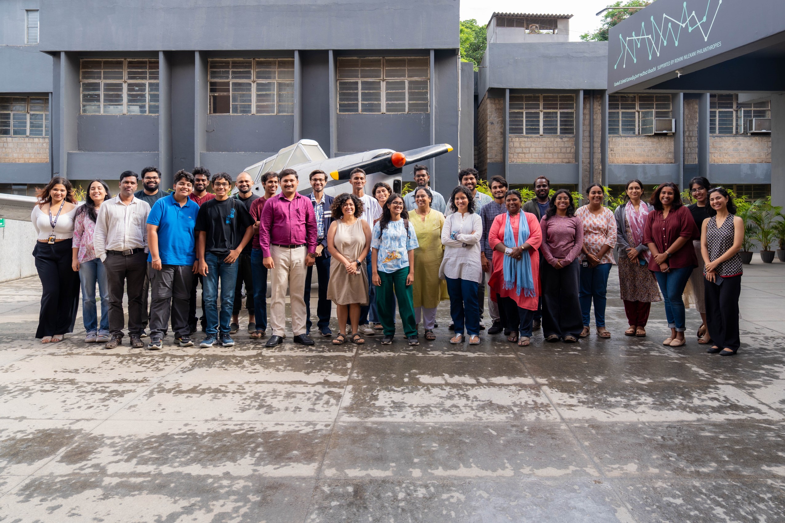
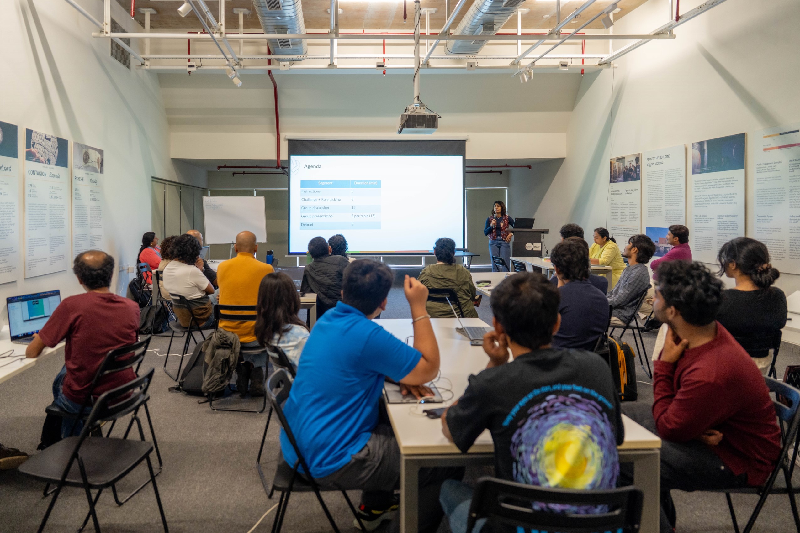
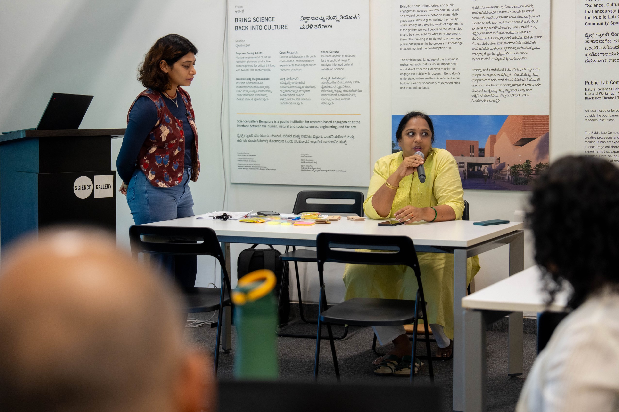
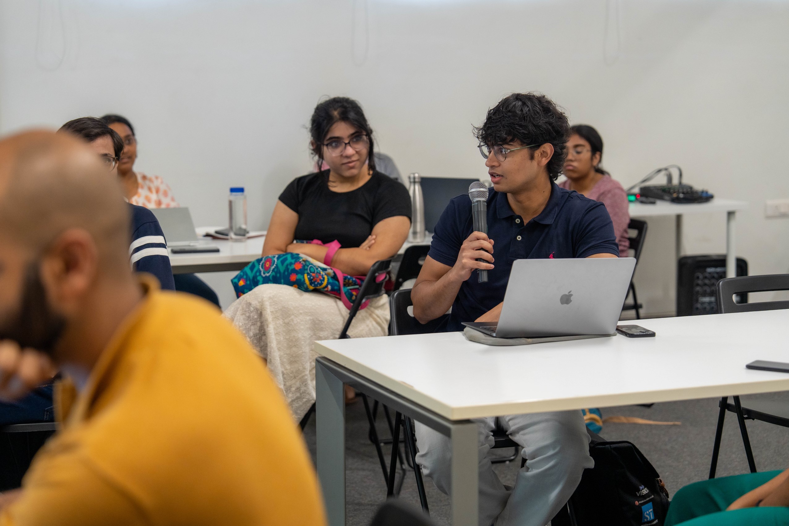
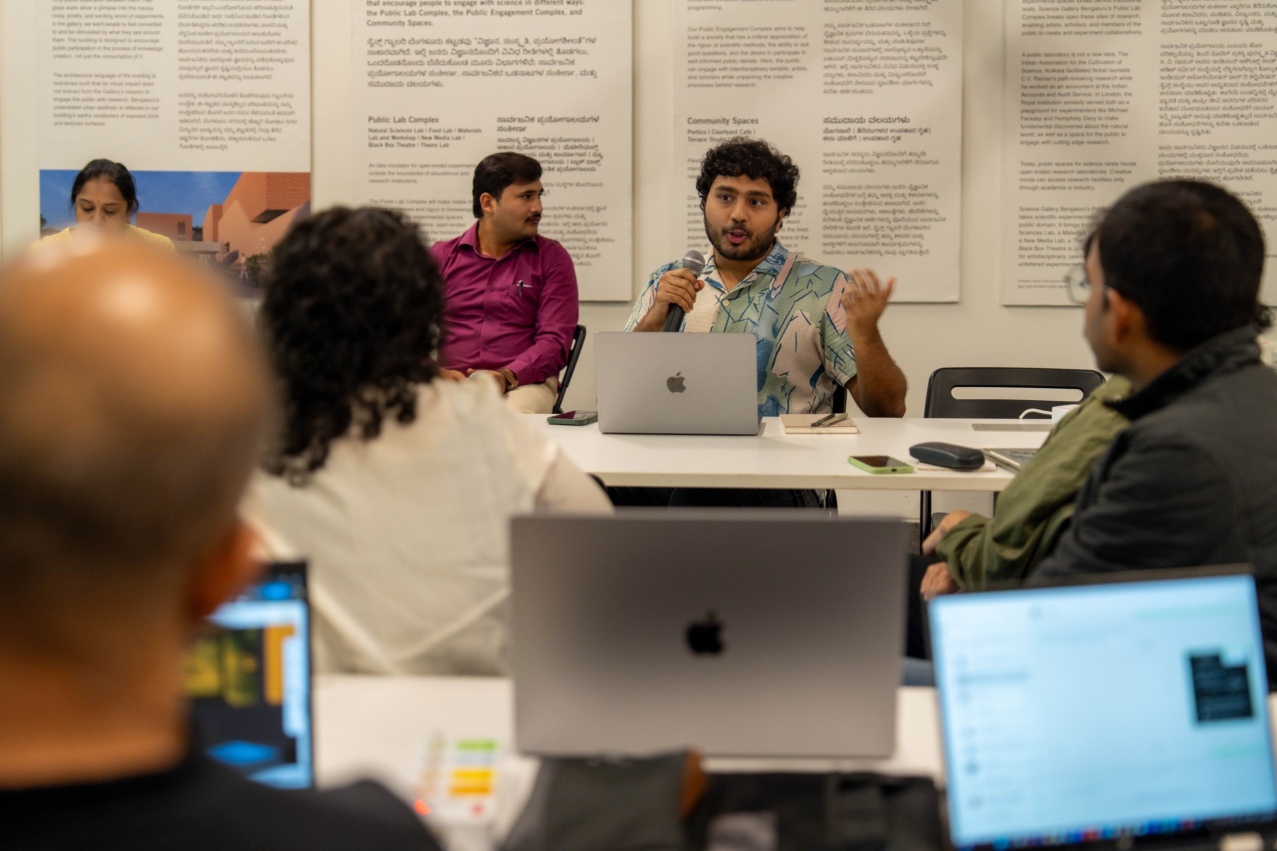
The workshop ‘Leveraging Geospatial Applications for Urban Climate Resilience: A Case of Bengaluru’ explored the intersection of urbanisation and climate variability through a geospatial lens.
Date: 24 May 2025
Time: 11 a.m. onwards
Venue: Reading Room, Science Gallery Bengaluru