CSTEP’s Rooftop Solar Explorer Tool Madhya Pradesh accurately assesses the solar potential of rooftops in cities using LiDAR technology.
Tool Group: Digital Applications
GIS-Based Energy Audit Tool
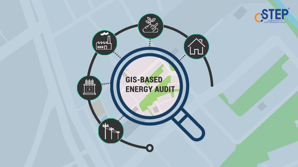
GIS-based energy audit tool accurately maps feeders with distribution transformers and consumers and helps identify loss-making areas.
Airnet Webapp
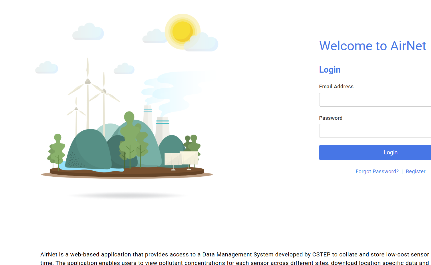
Airnet is a web-based application that provides access to a Data Management System developed by CSTEP to collate and store low-cost sensor data in near-real-time. The application enables users to view pollutant concentrations for each sensor across different sites, download location-specific data in .xlsx format and monitor the health of the sensors. Airnet sources its data from an automated data pipeline that fetches raw data from multiple integrators, standardises it, and applies corrections using locally developed calibration models, ensuring accuracy and reliability. The web application is designed for a range of users, including, but not limited to, policymakers, academics, sensor hosts, and developers. It offers tailored user interfaces based on specific user roles and profiles.
Spoorthi
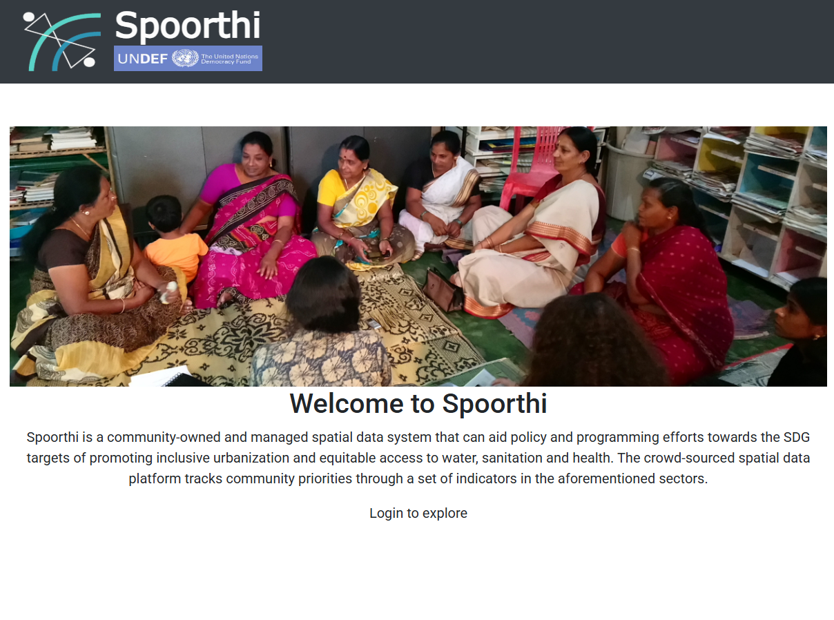
Spoorthi is a community-owned and -managed spatial data system that can aid policy and programming efforts towards the SDG targets of promoting inclusive urbanisation and equitable access to water, sanitation, and health. The crowd-sourced spatial data platform tracks community priorities through a set of indicators in the aforementioned sectors.
Feeder-Wise Revenue Analysis and Monitoring of Energy Sales (FRAMES)
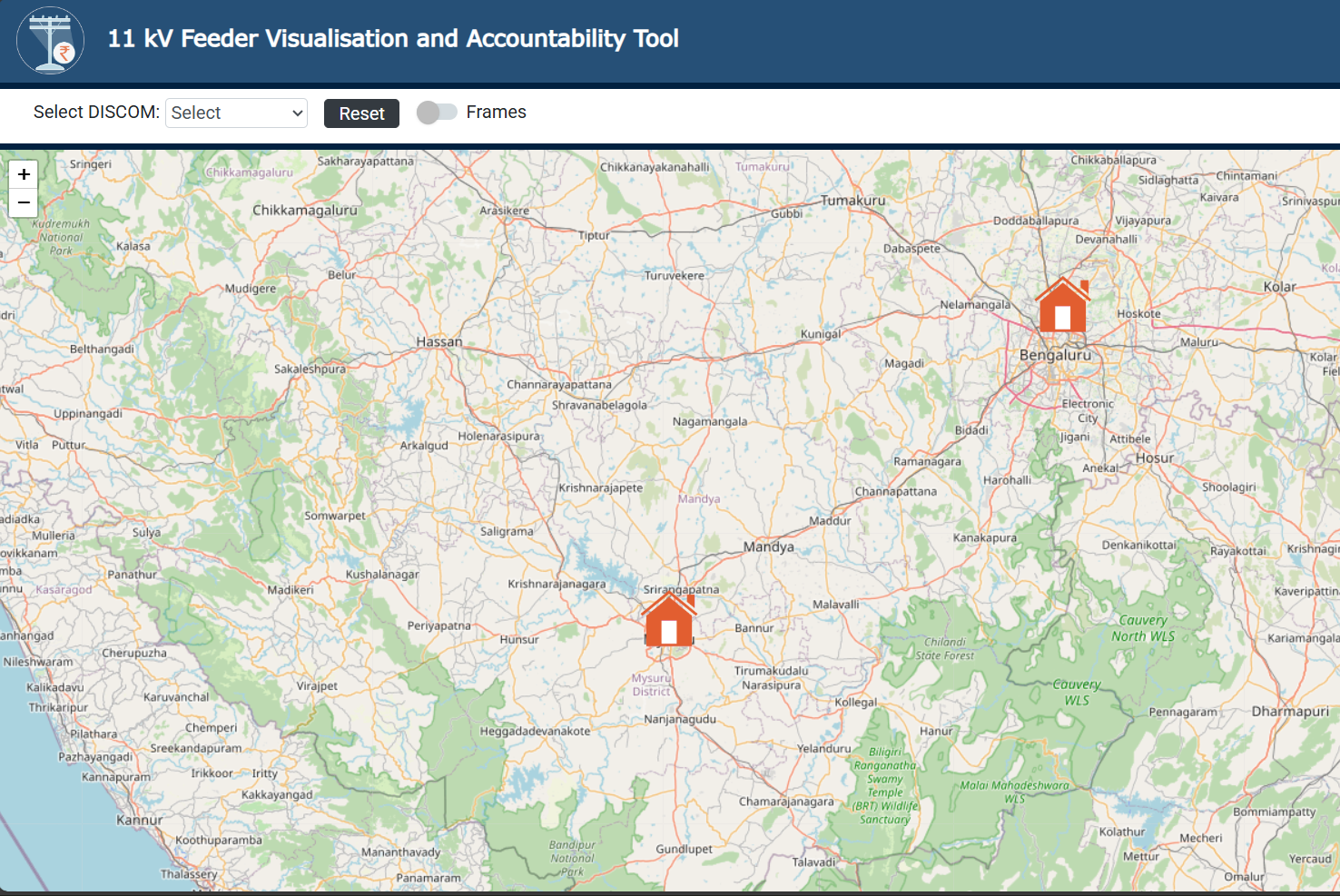
Feeder-wise Revenue Analysis and Monitoring of Energy Sales (FRAMES) is a GIS-based energy audit and decision-making tool for corporate-level officials to improve the financial health of the DISCOM.
E-Bus Depot Electrification Planning And Operational Tool (E-DEPOT)

E-Bus Depot Electrification Planning And Operational Tool (E-DEPOT) was developed to support state transport undertakings (STUs) and electricity distribution companies (DISCOMs) in their plans to deploy e-buses across different cities.
CREST Bengaluru
CSTEP’s Rooftop Evaluation for Solar Tool (CREST) accurately assesses the solar potential of rooftops in cities using LiDAR technology.
CSTEP’s Solar Techno-Economic Model (CSTEM)
CSTEP’s Solar Techno-Economic Model (CSTEM) for photovoltaics is a web-based platform designed to serve as a useful tool for prefeasibility analysis of utility-scale solar photovoltaic plants from a techno-economic standpoint. It is aimed to cater to policymakers, researchers, and industry trackers for informed decision-making.
Solar Technology and Application Atlas for India (STAAI)

Solar Technology and Application Atlas for India (STAAI) is a GIS-based online portal that provides detailed information and results from the technical studies conducted for the seven new and innovative solar applications (NISAs) in India, including the technical potential in terms of feasible installation capacity and levelised cost of energy for independent or all NISAs on the GIS map of India.
Bihar Power Transmission Visualisation Portal
Bihar Power Transmission Visualisation Portal is an online GIS tool that allows users to conduct scenario analysis to ascertain various load and demand conditions created within the system.
SAFARI

SAFARI estimates the energy, emissions, and resources implications of achieving developmental goals such as food, housing, healthcare, education, power for all, and transport up to 2050. The main objective of this project is to develop an energy model as a visualisation and planning tool (decision-support system) that will enable policymakers to create and test their strategies virtually. The purpose of the energy model is to estimate the materials, energy, and emissions implications for India to achieve a desired quality of life for all to ultimately understand the synergies and trade-offs involved in balancing developmental goals and climate targets.
CSTEPs Emission Inventory for 76 Cities
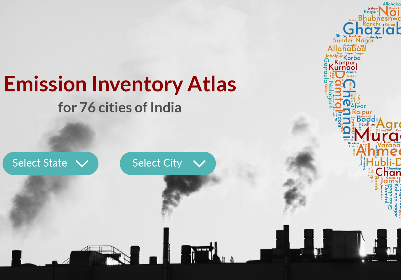
CSTEP, with assistance from 12 other Institutes of Repute (IoRs), developed the Emission Inventories (EIs) for 76 non-attainment cities under the aegis of the National Knowledge Network (NKN) to understand the various polluting sectors of the city and their share in the pollution.
Project Management System (PMS)
Project Management System for CSTEP is a tool to manage projects, proposals, expression of interests (EOIs), and engagements within CSTEP.
Dedicated Feeders for Irrigation Pumps
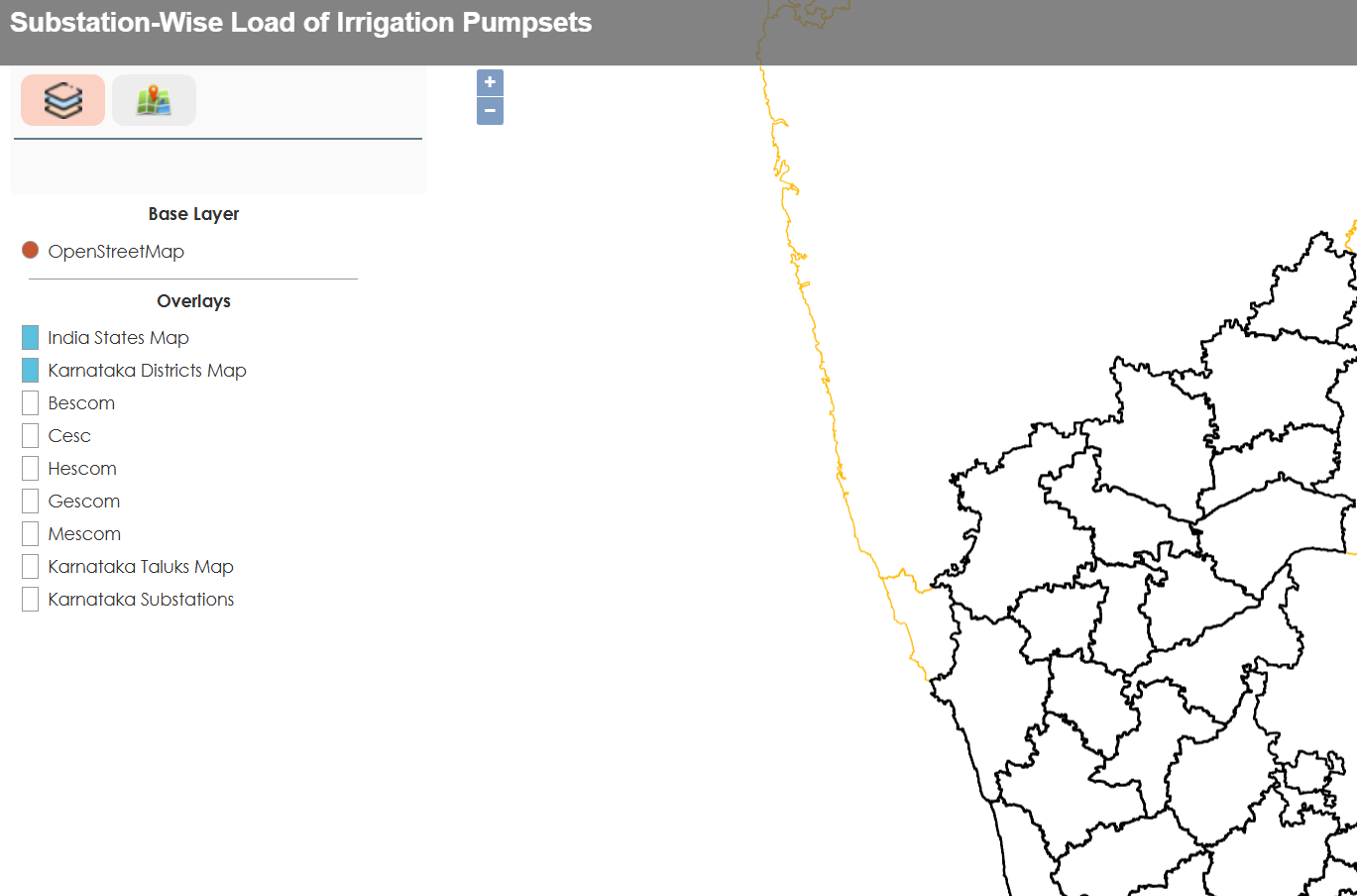
This GIS-based tool assesses irrigation pumps (substation-wise) to improve energy efficiency in Karnataka. This assessment helped the Government of Karnataka to ascertain the efficiency of irrigation pumps using multi-criteria assessment and deploy dedicated feeder routes to estimate overall efficiency gains. These gains where then realised in the form of power savings across five electricity distribution companies.
Urban Observatory (UO)
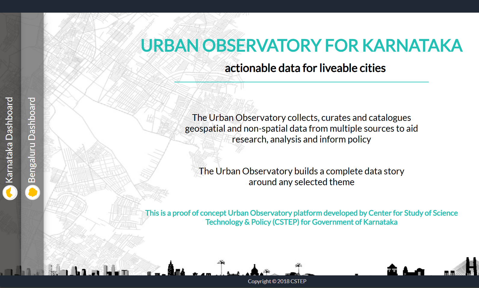
The Urban Observatory collects, curates, and catalogues geospatial and non-spatial data from multiple sources to aid research, analysis, and policymaking