The Climate Risk Assessment Tool (CRAT) for Puducherry UT

Project Overview

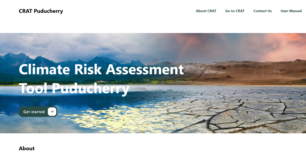
Supported by the Puducherry Climate Change Cell (PCCC), CSTEP has developed the Climate Risk Assessment Tool (CRAT) to systematically map, visualise, and assess climate risks across the Union Territory. Anchored in the IPCC AR5 risk framework, the project integrates scientific evidence with sectoral insights to support data-driven climate adaptation, urban planning, and disaster management. 

The initiative provides a spatially rich understanding of exposure, vulnerability, and risk to key hazards: heatwaves, droughts, floods, and Sea Level Rise (SLR). Thereby enabling policymakers to prioritise climate-resilient development.


Key Objectives

  1. Assess climate risks across Puducherry’s regions (Puducherry, Karaikal, Mahe, and Yanam) using high-resolution climate, geospatial, and socio-economic datasets. 
  2. Develop an interactive Climate Risk Assessment Tool (CRAT) to visualise current and future risk scenarios across the seven sectors: Agriculture, Livestock, Fisheries, Urban, Water resources, Tourism, and Health. 
  3. Strengthen institutional capacity for climate-informed planning across departments and disaster management authorities. 


Key Activities

  1. Climate hazard analysis: Evaluated historical and projected heatwaves, droughts, and floods under multiple climate scenarios. 
  2. Exposure and vulnerability mapping: Used granular demographic, infrastructural, and land-use datasets to capture differential risks across regions and settlements. 
  3. Risk assessment and hotspot identification: Applied composite indicators to highlight high-risk zones and priority sectors. 
  4. Tool development: Built a user-friendly spatial platform that visualises risk layers, hazard dynamics, and district comparisons. 
  5. Stakeholder engagement: Conducted consultations with government departments to contextualise findings and refine indicators. 


Major Outcomes

  1. A comprehensive climate risk database for Puducherry, covering multi-hazard and multi-sectoral dimensions. 
  2. An interactive spatial tool enabling evidence-based decision-making and resource prioritisation. 
  3. Improved institutional readiness for climate adaptation and disaster risk reduction. 
  4. Actionable insights for integrating climate risk into urban development, infrastructure planning, and resilience strategies. 
  5. A strengthened ecosystem for science–policy collaboration within the Union Territory. 


Tool

Event

Launch of the Climate Risk Assessment Tool for the Union Territory of Puducherry

Publication